
Embarking on the waters can be an exhilarating experience, but it also comes with its fair share of challenges, particularly during the Atlantic hurricane season. Whether you’re a seasoned sailor or just starting your boating journey, acquiring basic navigation techniques is crucial for ensuring safety and maximizing the enjoyment of your boating adventures. In this article, we will delve into fundamental navigation skills tailored specifically for boaters on the Gulf Coast and its surrounding areas. Let’s dive in and discover how to navigate the waters with confidence!
Understanding Nautical Charts:
Nautical charts are the cornerstone of marine navigation. To become proficient in using them, start by familiarizing yourself with chart symbols, abbreviations, and the legend. Pay close attention to the depth soundings, underwater hazards, and the colors used to depict various features. Understanding the difference between nautical miles and statute miles is crucial for accurate distance measurement.
When planning your route, consider tidal variations and tidal currents, as they can significantly impact water depths and navigational challenges. Learn how to apply corrections for magnetic variation and deviation to ensure your compass readings align with true north.
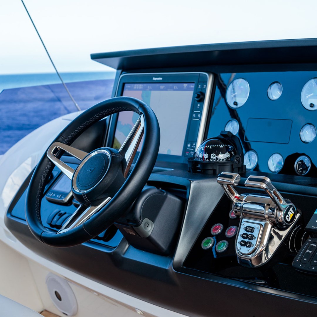
Utilizing GPS and Electronic Navigation:
GPS devices and electronic chart plotters have become indispensable tools for modern boaters. Mastering their use involves understanding how to input waypoints, create routes, and interpret real-time position data on electronic charts. Practice using features like route tracking and logbook functions to record your journey and assess your boating performance.
Keep your GPS updated with the latest charts and software to ensure accurate and reliable information. However, always have paper charts as backups, as electronic systems can experience malfunctions or loss of power.
Navigational Buoy Systems:
Navigational buoys and beacons provide essential information to mariners, indicating safe channels, restricted areas, and potential hazards. Learn the significance of different buoy colors, shapes, and light characteristics. For example, red buoys mark the port (left) side of the channel when returning from the open sea, while green buoys mark the starboard (right) side.
Understand the navigational aids such as lighthouses and daymarks, which can be useful visual references during daytime navigation. Regularly check for updates and changes to buoy positions and characteristics, as they may shift due to storms or changes in water conditions.
Compass Navigation:
A compass remains a reliable and straightforward tool for boaters. Learn how to compensate for magnetic deviation caused by metallic objects on board your vessel. Remember that nearby magnetic influences, such as electrical equipment and engine components, can affect the compass reading.
Practice steering a consistent heading using the compass, and compare your readings with the GPS to ensure their accuracy. Additionally, learn how to adjust the compass for local magnetic variation, which changes depending on your geographical location.
Dead Reckoning and Estimated Position:
Dead reckoning involves calculating your estimated position based on your last known fix, course, and speed. This technique is essential during low visibility or when electronic navigation systems fail. Keep a record of your time, distance traveled, and direction changes to maintain an accurate dead reckoning plot.
When using estimated position, consider environmental factors like wind and current to approximate your location. Combine dead reckoning and estimated position with visual or radar bearings to improve the accuracy of your calculated position.
Weather Awareness:
Weather plays a significant role in boating safety. Stay informed about marine weather forecasts, including wind speed, wave height, and potential storms. Know how to interpret weather maps and use online resources for real-time updates.
While on the water, constantly monitor the sky for signs of changing weather patterns, such as darkening clouds, sudden drops in temperature, or increasing wind speeds. If you observe any indicators of impending storms, take immediate action to return to shore or seek safe harbor.
Mastering basic navigation techniques for boating is an ongoing process that requires dedication and practice. Understanding nautical charts, utilizing GPS and electronic navigation, and interpreting navigational buoys are fundamental skills for every boater. Additionally, compass navigation, dead reckoning, and estimated position techniques provide valuable backups when electronic systems may fail.
Weather awareness is crucial for ensuring your safety and the safety of your crew during boating adventures, especially during the unpredictable Atlantic hurricane season. By honing these navigation skills and staying vigilant about weather conditions, you can navigate the waters confidently and make the most of your boating experiences on the Gulf Coast and beyond.
Safe sailing and happy boating!
More for you to read;
The Environmental Impact Of Antifoul Black Paint And Its Influence On Orcas’ Behavior.